05. BUILDING THEMATIC MAP USING UAV TECHNOLOGY FOR WATER SUPPLY AND DRAINAGE PLANNING IN THE CASE STUDY OF HAI PHONG CITY
Thanh bên bài viết
Giới thiệu
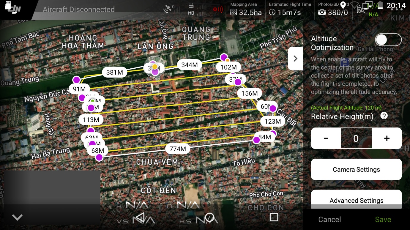
Thematic maps are crucial representations that depict specific natural and socioeconomic phenomena. Unmanned Aerial Vehicles (UAVs) offer several advantages, including high resolution, accuracy, rapid image processing, easy 3D data creation, and cost-effectiveness. UAV technology is highly suitable for mapping small or inaccessible survey areas using direct measurement methods. This article aims to establish a thematic map using UAV technology for urban water supply and drainage planning, focusing on the case study of Le Chan district in Hai Phong city. The steps involve image capture, control point surveys, image block processing, thematic map establishment, and accuracy assessment. This resultant map for water supply and drainage planning will significantly contribute to effective and sustainable planning and exploitation of the case study in the near future.
Toàn văn bài báo
Trích dẫn
[2]. Francesco Nex et al., (2014). UAV for 3D mapping applications: A review. Applied Geomatics, 6, 1-15.
[3]. Kotaro Iizuka, Kazuo Watanabe, Anshuman Bhardwaj (2018). Advantages of Unmanned Aerial Vehicle (UAV) photogrammetry for landscape analysis compared with satellite data: A case study of postmining sites in Indonesia. Cogent Geoscience, 4(1), 1-15.
[4]. Anuar Ahmad (2011). Digital mapping using low altitude UAV. Pertanika J. Sci. & Technol., 19 (S). 51-58.
[5]. A Pijl, M Tosoni, G Roder, G Sofia, P Tarolli (2019). Design of terrace drainage networks using UAV-based high-resolution topographic data. Water 2019, 11(4), 1-11.
[6]. C. Gevaert, R. Sliuzas, C. Persello, G. Vosselman (2016). Opportunities for UAV mapping to support unplanned settlement upgrading. African Journal Online, Vol. 1: Series D: Special Edition 2.
[7]. S. M. Azmi, Baharin Ahmad and Anuar Ahmad (2013). Accuracy assessment of topographic mapping using UAV images integrated with satellite images. IOP Conference Series: Earth and Environmental Science, Volume 18, 8th International Symposium of the Digital Earth (ISDE8), 26-29 August 2013, Kuching, Sarawak, Malaysia.
[8]. W. Tampubolon, W. Reinhardt (2020). UAV data processing for large-scale topographical mapping. The International Archives of the Photogrammetry, Remote Sensing and Spatial Information Sciences, Volume XL-5, 2014 ISPRS Technical Commission V Symposium, 23-25 June 2014, Riva del Garda, Italy, 1-8.
[9]. Bùi Ngọc Qúy, Phạm Văn Hiệp (2017). Nghiên cứu xây dựng mô hình 3D từ dữ liệu ảnh máy bay không người lái (UAV). Tạp chí Khoa học Kỹ thuật Mỏ - Địa chất, 58(4), 201-211.
[10]. Lương Ngọc Dũng, Trần Đình Trọng, Vũ Đình Chiều, Bùi Duy Quỳnh, Hà Thị Hằng, Dương Công Hiểu, Nguyễn Đình Huy (2021). Nghiên cứu chế độ bay UAV trong khảo sát địa hình công trình dạng tuyến - ứng dụng cho đoạn đường đê Xuân Quan, Hà Nội. Tạp chí Khoa học Công nghệ Xây dựng, 15(7V), 131-142.
[11]. Mai Văn Sỹ, Bùi Ngọc Quý, Phạm Văn Hiệp, Lê Đình Quý (2017). Nghiên cứu sử dụng dữ liệu ảnh máy bay không người lái (UAV) trong thành lập bản đồ địa hình tỷ lệ lớn. Tạp chí Khoa học Đo đạc và Bản đồ, 33, 49-57.
[12]. Nguyễn Quốc Long (2021). Đánh giá độ chính xác mô hình số bề mặt mỏ lộ thiên thành lập từ dữ liệu máy bay không người lái có định vị tâm chụp ảnh bằng công nghệ đo động xử lý sau. Tạp chí Khoa học Kỹ thuật Mỏ - Địa chất, 62 (4), 1-10.
[13]. Francesco Nex. (2019). UAV-g 2019: Unmanned Aerial Vehicles in Geomatics. Drones, 3(3), p.74.
[14]. Website: https://www.dji.com/phantom-4-rtk (accessed on 15 June 2023).