07. XÂY DỰNG HỆ THÔNG TIN ĐỊA LÝ QUẢN LÝ CÁC TUYẾN XE BUÝT KHU VỰC NỘI THÀNH HÀ NỘI
Thanh bên bài viết
-
Trắc địa - Bản đồ Surveying - Mapping
Giới thiệu
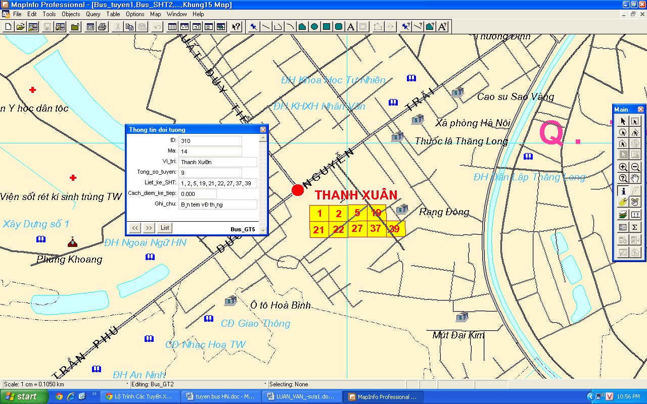
Xây dựng hệ thông tin địa lý quản lý xe buýt phải là hệ thống thông tin khoa học, dễ dàng hỏi đáp, tra cứu và tìm kiếm thông tin, được thiết kế thống nhất và hệ thống dữ liệu lớn bao gồm tất cả các số liệu, các dữ liệu thuộc về xe buýt như: Tên tuyến, số hiệu tuyến, lộ trình tuyến, giá vé, thời gian hoạt động, tần suất hoạt động, chiều dài tuyến, tổng số điểm dừng,… Do đó việc thiết kế và xây dựng hệ thông tin địa lý quản lý xe buýt phải phù hợp với cơ sở hạ tầng giao thông đô thị hiện nay. Giao thông công cộng đang là một vấn đề nóng được nhà nước quan tâm và đầu tư. Chính vì vậy hệ thông tin địa lý quản lý xe buýt có nhiều đặc tính riêng biệt. Để xây dựng một hệ thông tin địa lý quản lý về xe buýt được hoàn chỉnh và khoa học thì phải thu thập đầy đủ cơ sở dữ liệu về xe buýt và phải thu thập nhiều câu hỏi cụ thể xuất phát từ công tác quản lý và sử dụng các thông tin về quản lý xe buýt. Dựa vào các câu hỏi đó để phân tích hướng sử dụng các thông tin về xe buýt trên địa bàn Hà Nội và xây dựng mô hình lưu trữ thông tin có cấu trúc cho hệ thống. Nhóm tác giả áp dụng phương pháp biên tập, biên vẽ bản đồ hành chính cùng tỷ lệ đã có kết hợp bổ sung kết quả sưu tập từ các tài liệu liên quan để xây dựng CSDL GIS về quản lý xe buýt. Kết quả của bài báo cung cấp đầy đủ các thông tin ở mức sâu, rộng như: tên tuyến, tuyến, lộ trình tuyến, giá vé, thời gian hoạt động, tần suất hoạt động, chiều dài tuyến, tổng số điểm dừng, lượt xe, sức chứa, mác xe,…
Toàn văn bài báo
Trích dẫn
[2]. Bộ Tài nguyên và Môi trường (2007). Quy đinh áp dụng chuẩn thông tin địa lý cơ sở quốc gia.
[3]. Trần Phước Vinh (2001). GIS một số vấn đề chọn lọc. Nhà xuất bản Giáo dục, Hà Nội.
[4]. Lộ trình các tuyến xe buýt, thông tin điều chỉnh tuyến trên Website www.hanoibus.com.vn của công ty vận tải Hà Nội.
[5]. Phạm Vọng Thành (2000). Bài giảng Cơ sở hệ thống thông tin địa lý dùng cho học viên cao học chuyên ngành bản đồ. Trường Đại học Mỏ - Địa Chất, Hà Nội.
[6]. Trung tâm thông tin Tài nguyên và Môi trường (2004). Dự án xây dựng cơ sở dữ liệu tích hợp Tài nguyên và Môi trường Quốc Gia. Bộ Tài nguyên và Môi trường, Hà Nội.