07. [1]. Nguyễn Bin (2008). Các quá trình, thiết bị trong công nghệ hóa chất và thực phẩm. Tập 4, NXB Khoa học và Kỹ thuật. [2]. Lê Văn Cát (2002). Hấp phụ và trao đổi ion trong kĩ thuật xử lí nước và nước thải. NXB Thống kê, Hà Nội. [3]. Nguyễn Đức Huệ (
Thanh bên bài viết

-
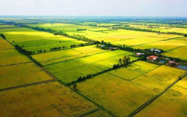
Đất đai Land
Giới thiệu
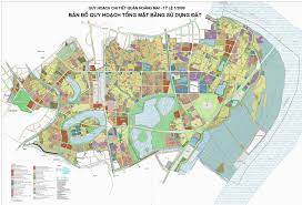
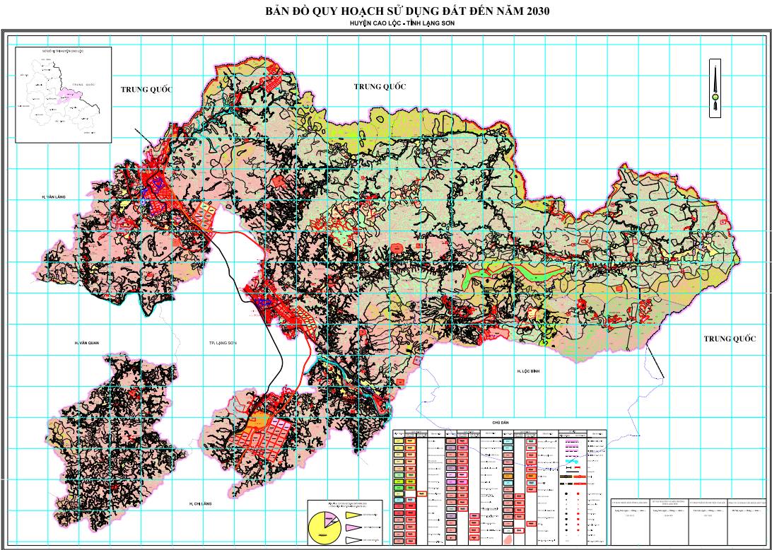
Mục đích của nghiên cứu này nhằm hướng tới ứng dụng một số công nghệ, phần mềm mới hiện nay để tiến hành xử lý số liệu phục vụ công tác thống kê, kiểm kê đất đai, lập bản đồ hiện trạng sử dụng đất như Microsation V8i, Vietmap XM, TK Desktop. Đây là những phần mềm chuyên dụng với các tính năng hiện đại như tự động biên tập, thiết kế bản đồ và kết xuất biểu thống kê đất đai. Nghiên cứu được thực hiện trên địa bàn xã Trung Hà, huyện Yên Lạc, tỉnh Vĩnh Phúc. Bài báo sử dụng phương pháp điều tra thu thập số liệu sơ cấp, thứ cấp và xử lý số liệu bằng các phần mềm TK Desktop với sự hỗ trợ của phần mềm VietMap chạy trên nền MicroStaion để tổng hợp số liệu thống kê đất đai trực tuyến cũng như tự động biên tập và hoàn thiện bản đồ hiện trạng sử dụng đất. Kết quả của nghiên cứu sẽ tạo được 3 sản phẩm bao gồm: (1). Bản đồ kiểm kê đất đai tỷ lệ 1/2000; (2) Bản đồ hiện trạng sử dụng đất tỷ lệ 1/2000; (3). Hệ thống biểu thống kê đất đai theo quy định hiện hành của Bộ tài nguyên và Môi trường nhằm phục vụ tốt cho công tác quản lý đất đai của xã Trung Hà Nói riêng và của các địa phương khác trên phạm vi cả nước nói chung.
Toàn văn bài báo
Trích dẫn
[2]. Công ty cổ phần trắc địa Việt (2018). Hướng dẫn sử dụng phần mềm VietMap XM phục vụ công tác thống kê, kiểm kê đất đai.
[3]. UBND xã Trung Hà (2018). Báo cáo tình hình phát triển kinh tế xã hội năm 2018.
[4]. UBND xã Trung Hà (2018). Kết quả hồ sơ biến động đất đai năm 2018, số liệu thống kê năm 2017.
[5]. Văn phòng đăng ký đất đai - chi nhánh huyện Yên Lạc (2018). Hệ thống bản đồ địa chính, số liệu thống kê đất đai năm 2017, hồ sơ chuyển nhượng đất đai năm 2018 của xã Trung Hà.